

Updates:
- 2024-04-25 -Over on my Facebook Page, Jeremy O’L.point out that “Aventura is connected multiple ways as well.” There is an official way to walk north out of the Aventura lobby and reach the Garden Walk, or you can walk across the parking lot an in to the lobby of Sapphire Falls and continue walking to the Garden Walk from there, or down to the Sapphire Falls Water Taxi dock. Google limits how many layers I can have on a map (which is why I had to split them up in to West and East maps), but I’ll see what I can do about adding this. Thanks, Jeremy!
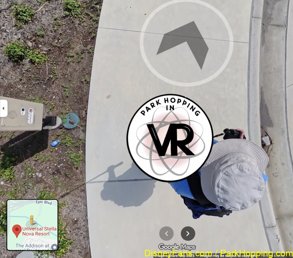
- 2026-06-16 – Also noting the Stella Nova walk to Epic Universe.
I created some Google Maps layers that show the walking path (called “Garden Walk”) between the on-site hotels and the park entrances. It includes markers for the boat docks, bus dropoffs and security checkpoints, as well. You can enable just the items you want to see. (For example, you only care about the walking route from Aventura to Universal Studios Florida.)
West Side – Cabana Bay, Sapphire Falls, Royal Pacific (for Aventura, you can walk across the parking lot to Sapphire Falls and then use their map)
https://www.google.com/maps/d/viewer?mid=1rqDurcJoaW48Ppmmxk-yXpuHxbJphBA3&usp=sharing
East Side – Hard Rock, Portofino Bay
https://www.google.com/maps/d/u/0/edit?mid=12rcfdPcjgizN3UQ8KPZqchAdG1eJUxF1&usp=sharing
Enable the “Legend” to see the different layers you can turn on.
Please comment if you find any mistakes, or if you have items that should be added.
See Also: Stella Nova to Epic Universe
In Google Maps, check out Street View to see my upload of the sidewalk walk from Stella Nova to Epic Universe. This will let you virtually walk from that hotel to the park entrance and see what it is like. Just start on the sidewalk by dragging the little yellow street view character onto the sidewalk. (Look down and you will see me.)
…and I have photos of the walk here: